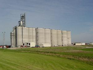
 | ALTON GRAIN TERMINAL, LLC
Alton Grain Terminal LLC., has 4.1 million bushels of storage capacity and proudly serves the area farmers and grain elevators with competitive prices, quick efficient truck unloading and knowledgeable service that includes the fairness of official weights and grades of the North Dakota Grain Inspection. | 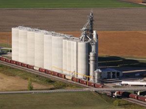 |